High hopes for the new year
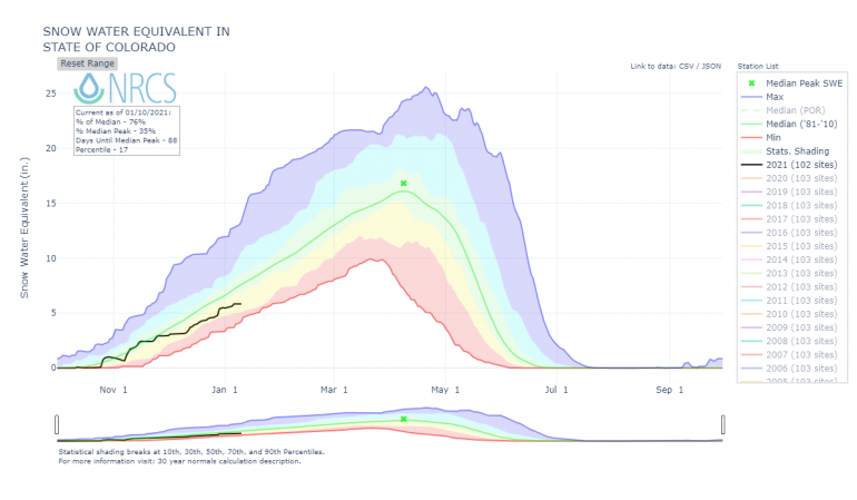
Everyone hoped 2021 would be a significant change from 2020. We’d see a major weather pattern change. It would finally snow. We’d put the weak, shallow snowpack behind us. Life would be good. We’d have a stable snowpack with more powder than we could ever track up. Unfortunately, no such luck. We’d start and finish January well below the 1981-2010, 30-year median snow water equivalent (SWE). The snowpack would continue to break down and weaken. We’d see over a week of clear sunny weather in the middle of the month, which was nice at the time, but would form a weak layer in the surface snow, which was not so nice after it started to snow later in the month.
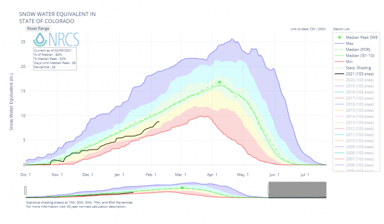
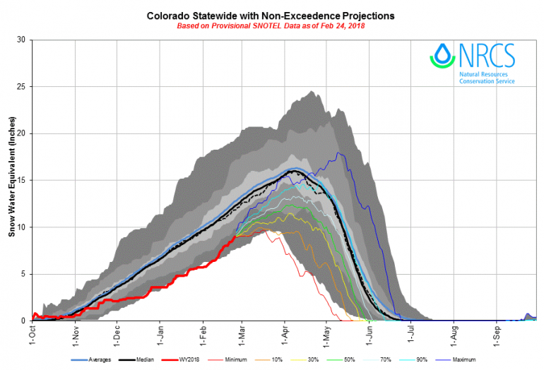
Snow water equivalent (SWE) for the state of Colorado over the Water Year (October 1 to September 30). The green dashed line is the 30-year median SWE from 1981 to 2010. The black line shows WY2021, which began on October 1, 2020. We spent all of January well below the median SWE across Colorado.
A few small storms brushed through Colorado the first week of January. Although we saw a dramatic decrease in avalanche activity compared to the end of December, reports of avalanches kept flowing into the CAIC at the beginning of the New Year.
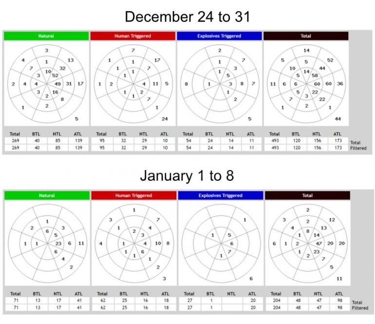
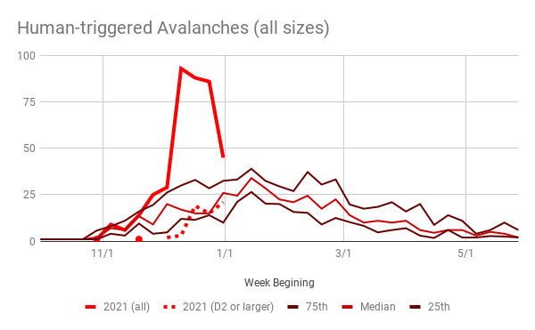
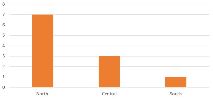
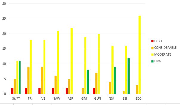
The number of avalanches reported to the CAIC during the last 8 days of December and the first 8 days of January.
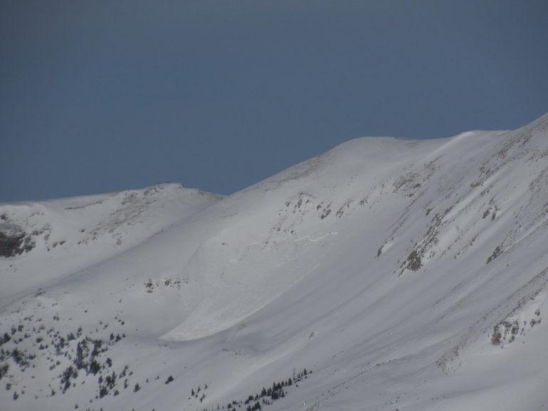
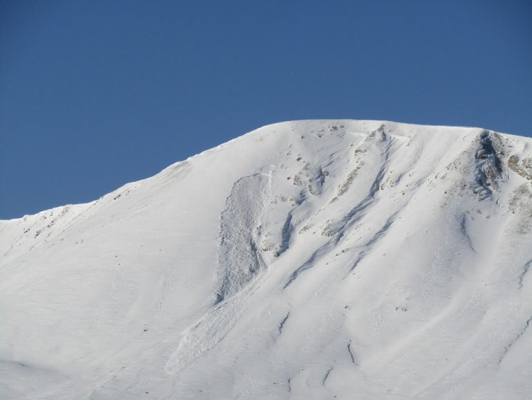
Around 8 inches of snow fell in the Northern Mountains during the first 8 days of January. In many areas, this new snow made up the entire slab for the season resting on a weak completely faceted snowpack. The new snow combined with strong winds touched off a widespread avalanche cycle in the Northern Mountains. Ninety avalanches were reported to the CAIC in the first 8 days of January in the Northern Mountains alone. Nineteen of those occurred naturally, and 32 were human triggered. Over 50 avalanches were large enough to bury, injure, or kill a person (Size D2 or larger). Backcountry travelers triggered many of these avalanches remotely from a substantial distance.
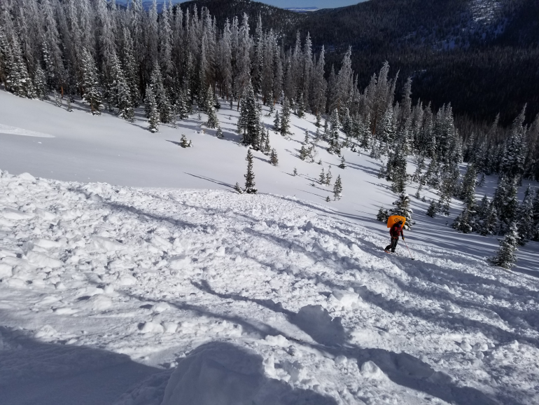
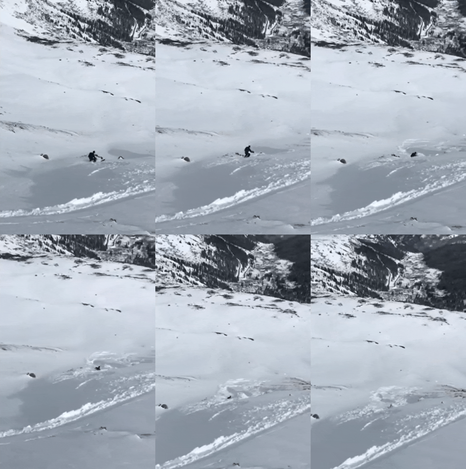
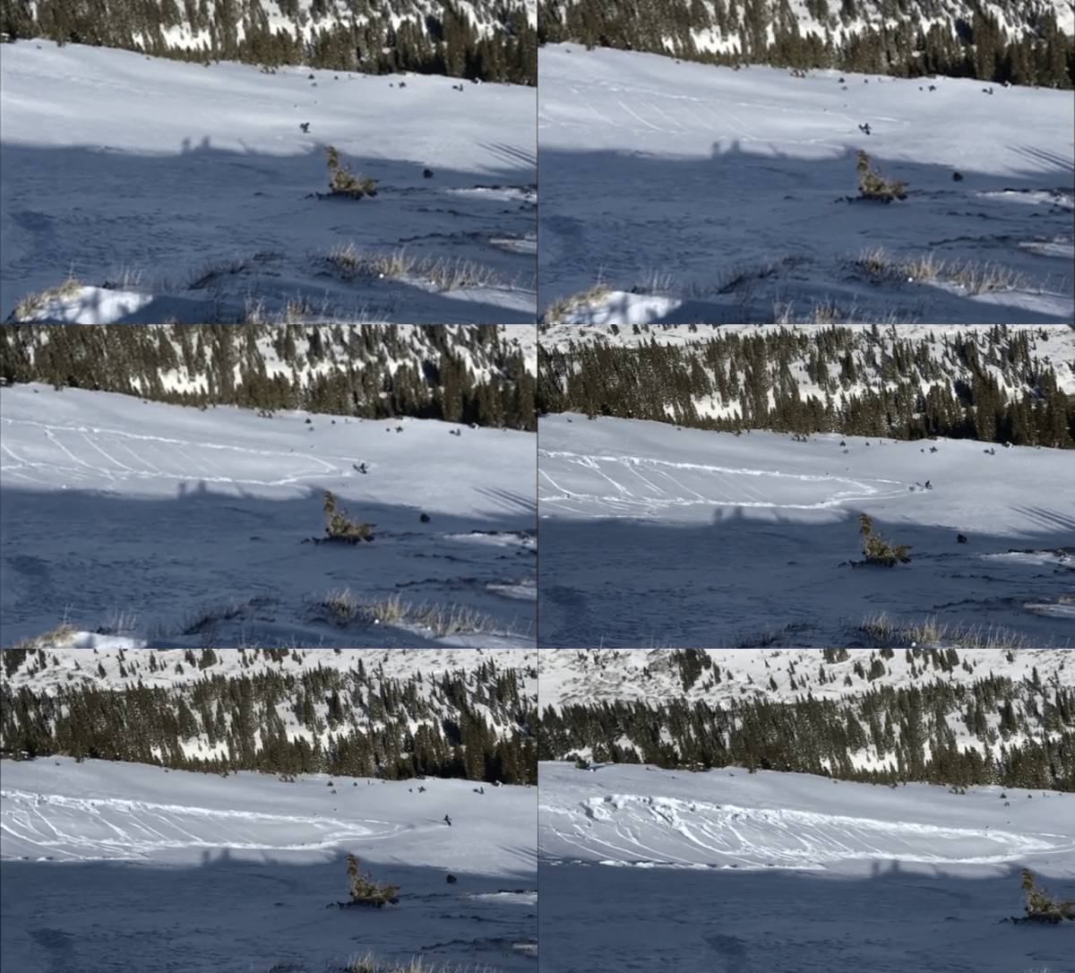
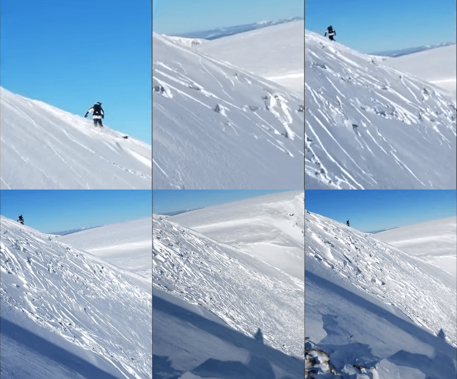
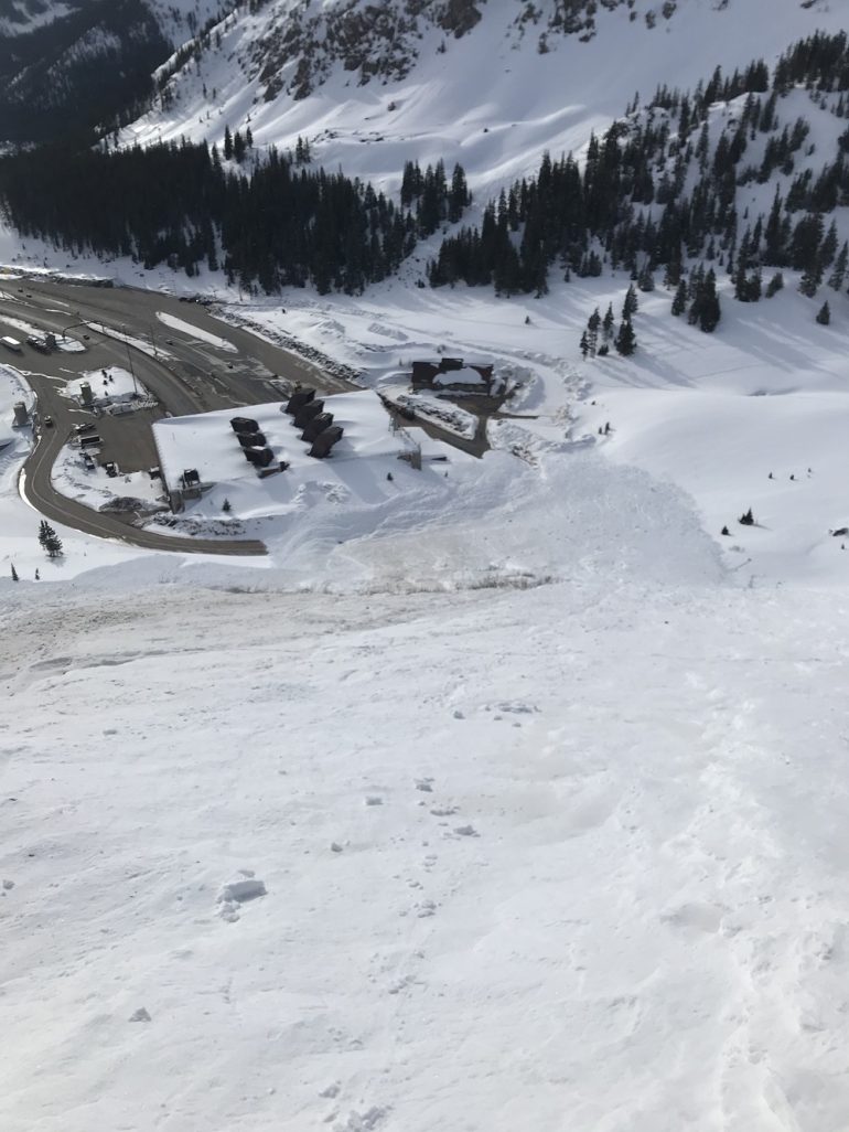
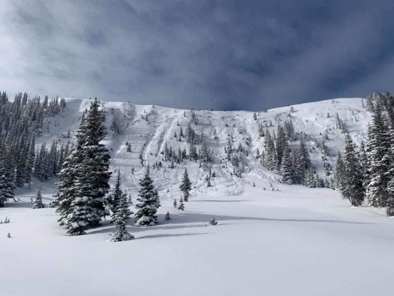
January 8 was a spectacular day for large avalanches. In one day, a group of riders remotely triggered a very large avalanche on Grouse Mountain outside of the Beaver Creek Ski Area boundary, which was caught on video. Then in two separate events, which were also both caught on video, a snowboarder was caught in a large avalanche on Loveland Pass where he deployed his avalanche airbag and ended up on the surface, and a snowmobiler near Jones Pass was enveloped in the powder cloud from a very large avalanche which he triggered frow lower in the path. He narrowly outran the slide. Both riders escaped unharmed, but they were both very close calls and could have easily resulted in burial, injury, or death.
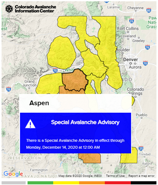
The CAIC issued a Special Avalanche Advisory on the evening of January 8 for the Front Range and Vail and Summit County zones for the upcoming weekend. The statement warned backcountry travelers to avoid steep north, northeast, east, and southeast-facing slopes in those two zones since that is where people were triggered the bulk of the large avalanches. Nobody reported being caught in an avalanche over that weekend.

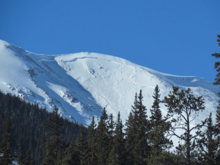
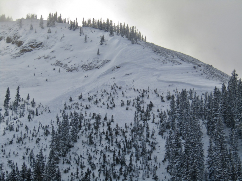
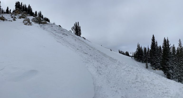
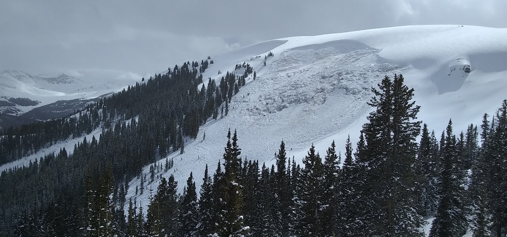
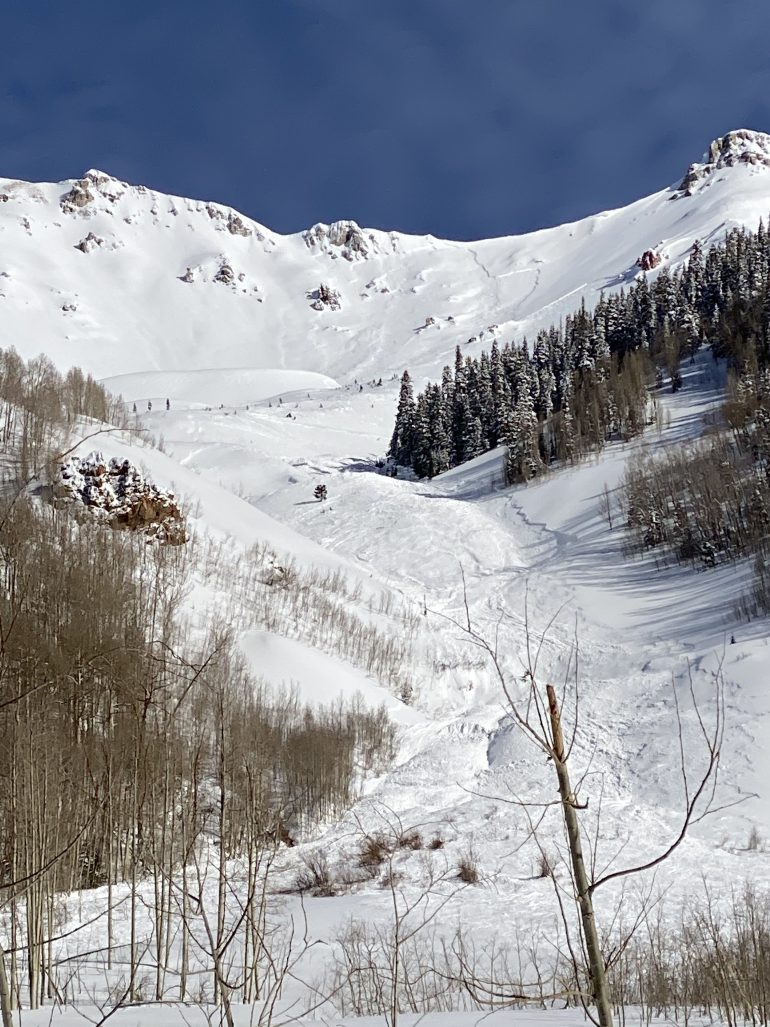
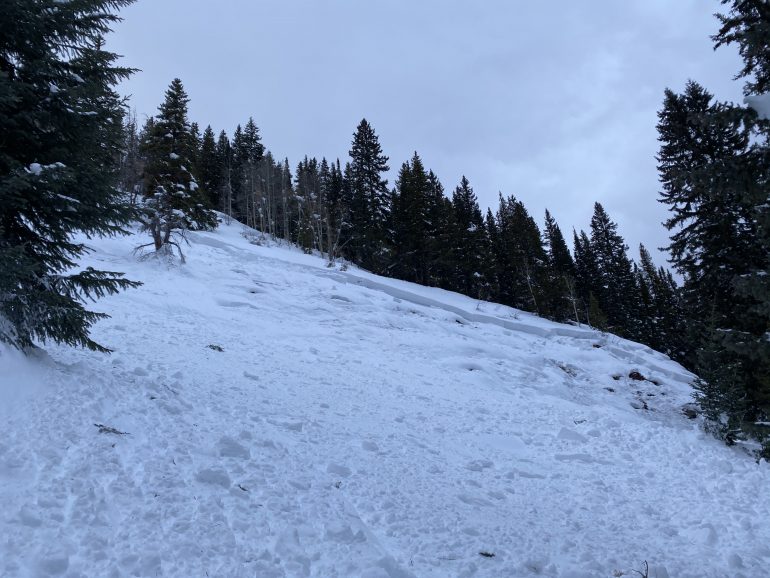
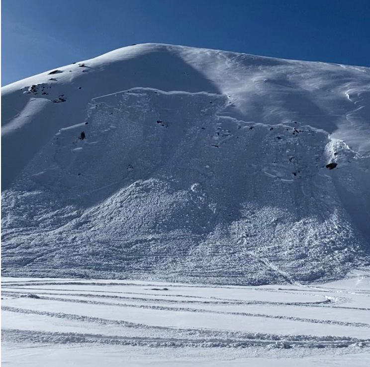
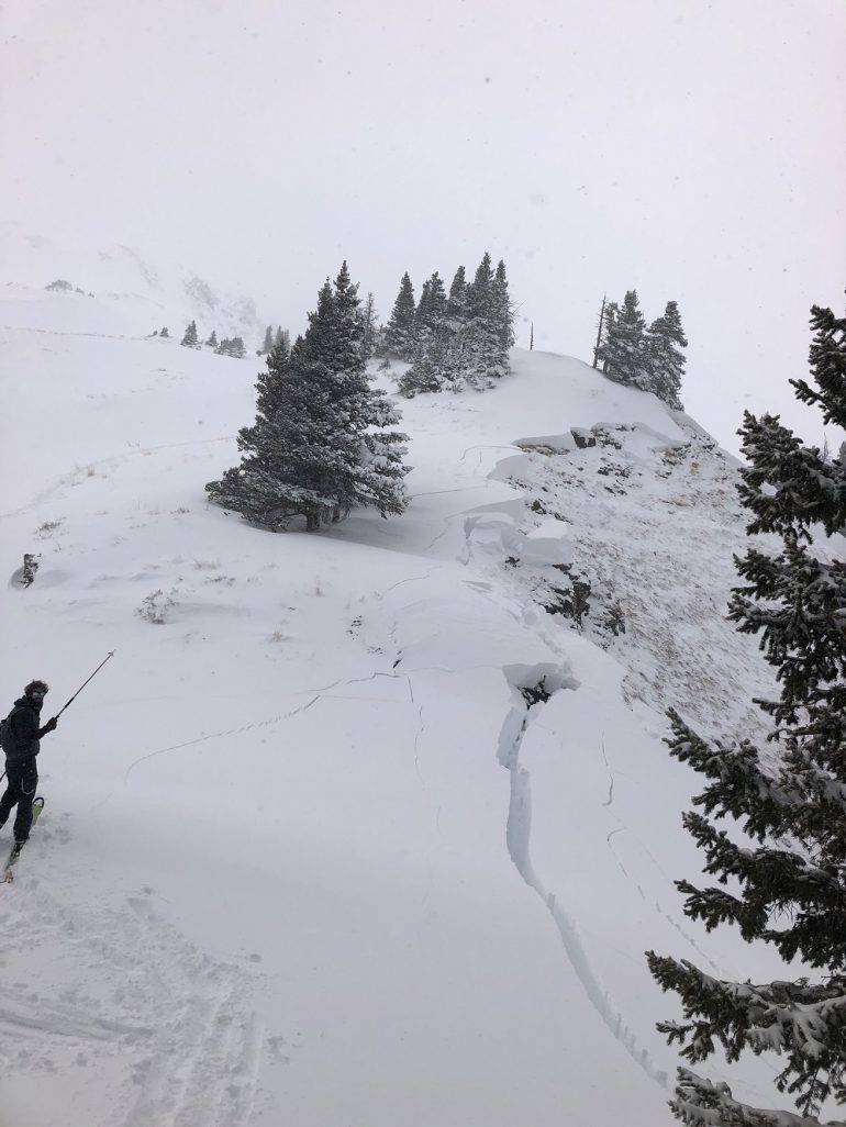
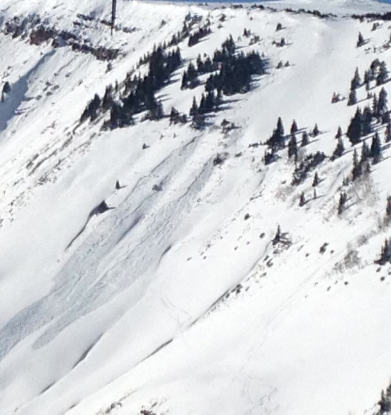
View of the crown line of the snowmobiler-triggered avalanche near Jones Pass on January 8, 2021. CAIC forecasters rated this avalanche large relative to the path (R4) with enough destructive force to destroy a wood frame house (D3).
The Central Mountains picked up about 6 inches of snow from the early January storms. Fifty-four avalanches were reported to the CAIC in the Central Mountains in the first 8 days of January. Twenty-four of those were size D2 or larger. Many were remotely triggered.
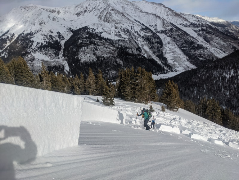
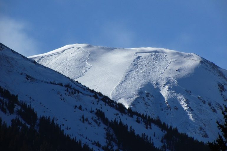
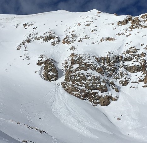
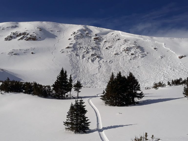
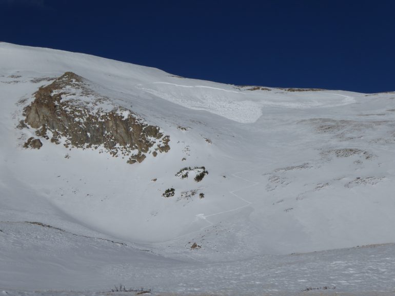
Large remotely triggered avalanche in the Sawatch zone on January 1, 2021.
The Southern Mountains fared the best for snowfall at the beginning of January, with two storms totaling a foot of snow in favored areas in the North San Juan Mountains zone. Observers reported 60 avalanches to the CAIC. Twenty-seven were D2 or larger.
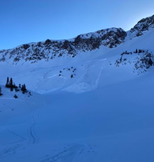
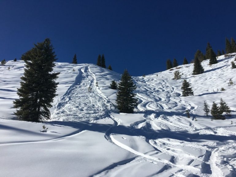
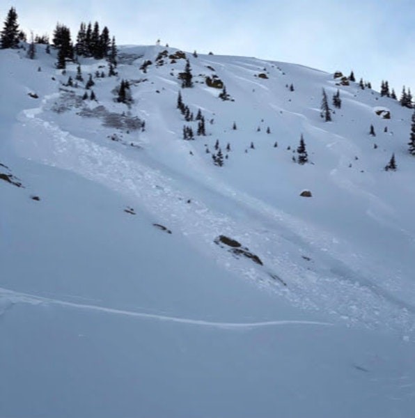
Remotely triggered avalanche in the North San Juan Mountains zone on January 7, 2021.
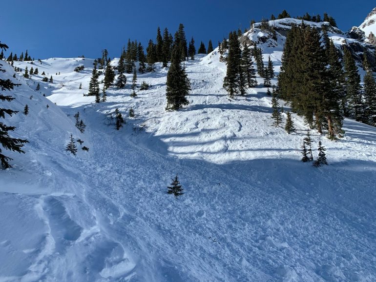
Unintentionally skier-triggered avalanche in the North San Juan zone on January 7, 2021.
And then, it wouldn’t snow again for what felt like an eternity.
It was Groundhog Day for the next ten days. Every day was clear skies, warm days, cold nights, large temperature swings between night and day, light northwesterly winds, and no precipitation.
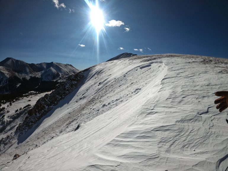
During prolonged periods of high pressure like this, the surface snow goes through a process called near-surface faceting where large diurnal temperature swings cause the top foot (30 cm) or so to facet and weaken. This isn’t a problem when this weak layer is at the surface, but as the title of the article by Karl Birkeland in the Autumn 1998 issue of The Avalanche Review suggests, “Sometimes Today’s Great Skiing Creates Tomorrow’s Avalanche Headaches.” Nothing would prove closer to the truth at the end of January.
During the period of high pressure from January 9 to January 17, observers reported 66 avalanches. About half of those avalanches were large enough to bury or injure a person. Most broke in the weak snow near the ground. Many were unintentionally or remotely triggered.
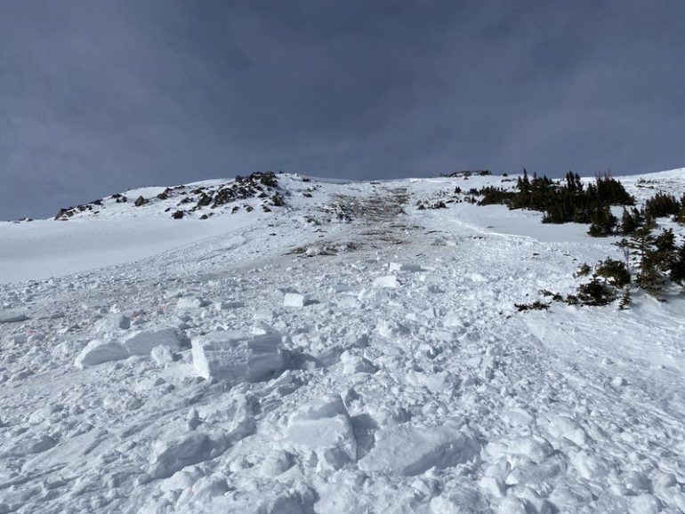
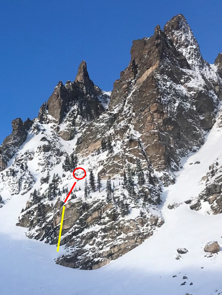
Explosive triggered avalanche in the Vail and Summit County zone on January 12, 2021
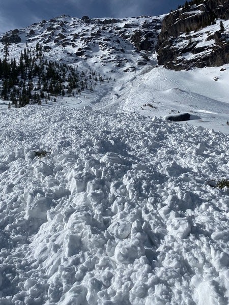
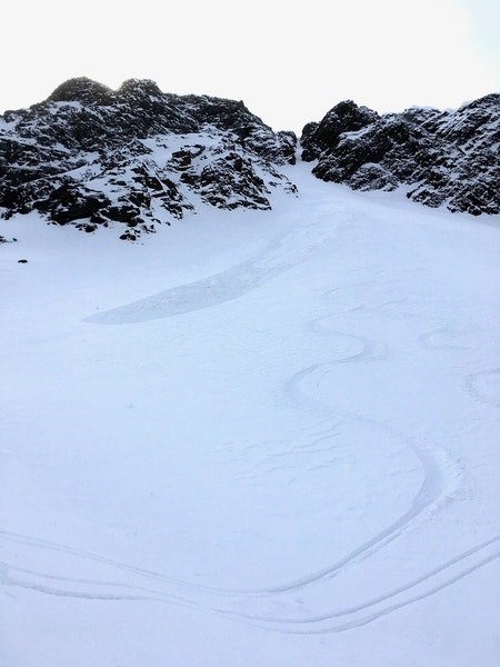
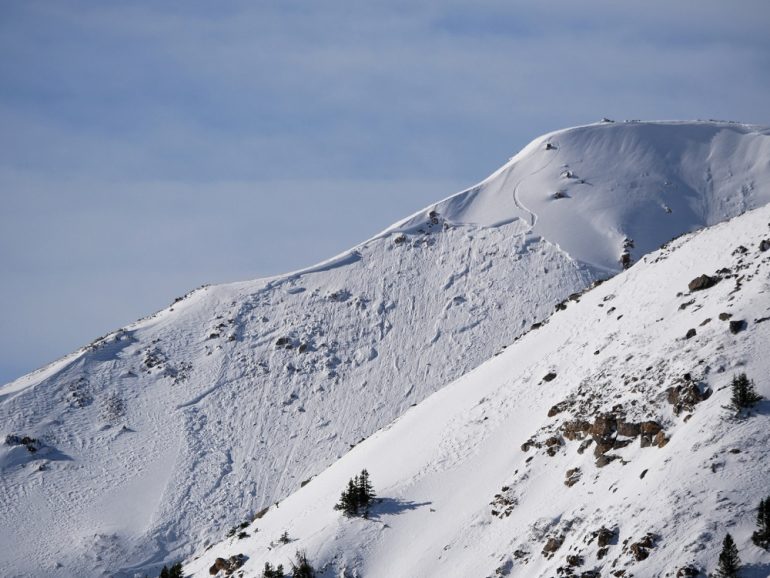
Skier triggered avalanche in the North San Juan Mountains zone on January 17, 2021
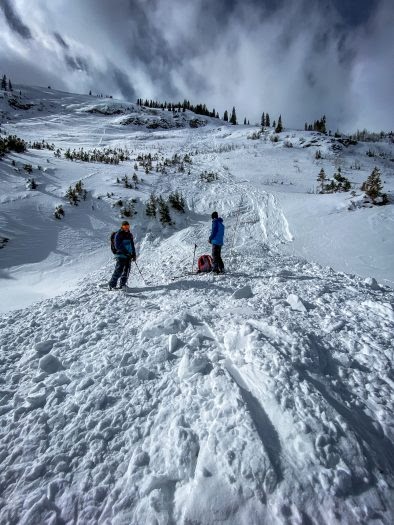
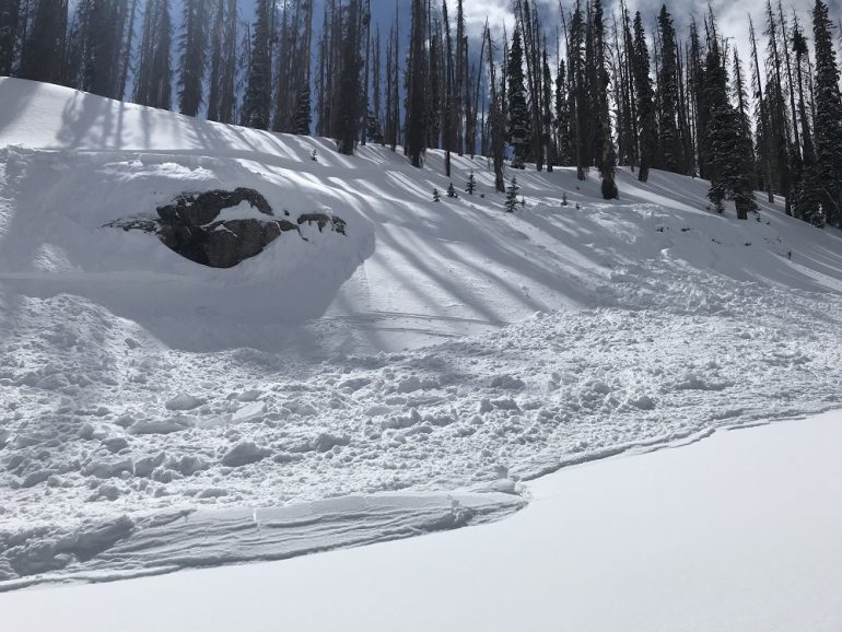
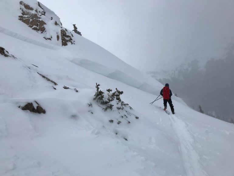
Riders stand at the bottom of a small unintentionally skier-triggered avalanche in the Gunnison zone on January 18, 2021.
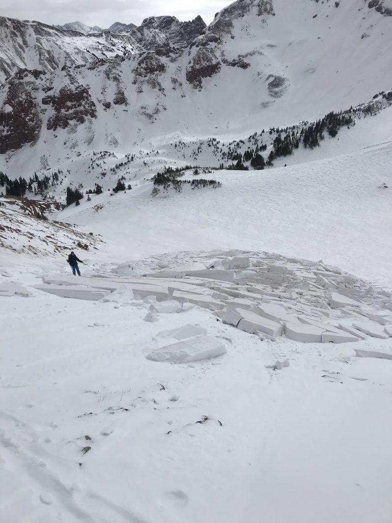
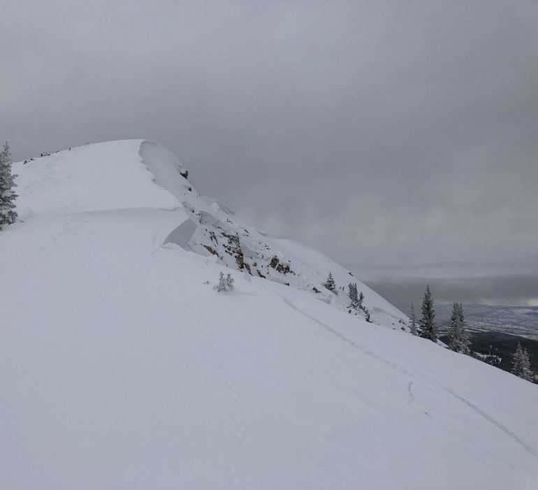
A skier investigates an unintentionally triggered hard slab avalanche in the Aspen zone on January 18, 2021.
The high-pressure ridge to our west began to break down on January 17 which opened the door for a storm to move into the Northern Mountains overnight into January 18. The Northern Mountains received 6 to 8 inches of snow in the Flat Tops, the Park Range, and the northern Front Range. This wasn’t quite enough snow to build thick slabs, but it did cap the weak near-surface faceted crystals that formed during the previous 10 days. Observers only reported a handful of avalanches from this storm in the Northern Mountains.
Snowfall tapered quickly with only a couple inches of snow in the Central Mountains, and even less in the Southern Mountains, but that was about to change.
Back to back low-pressure systems moved into the Great Basin beginning on January 21 bringing good moisture on a strong southwesterly flow. This would be the first real test of the newly formed weak layer and in areas in the Central and Southern Mountains that got the brunt of the storms, it wouldn’t hold up well.
The focus of the next series of storm stayed south, and the Northern Mountains pretty much missed out on the action with accumulations of only about 3 to 6 inches across the area. We didn’t see many avalanches during or right after this storm in the Northern Mountains.
Six to 18 inches of new snow fell in favored areas of the Central Mountains on January 23 setting off a pretty good avalanche cycle especially north and west of the town of Crested Butte. Avalanches were breaking easily on the near-surface faceted crystals buried at the new/old snow interface and easily stepping down to the ground. Observers recorded 58 avalanches in the Central Mountains from January 23 to 26. Thirty-nine of those were in the Gunnison zone.
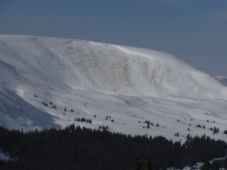
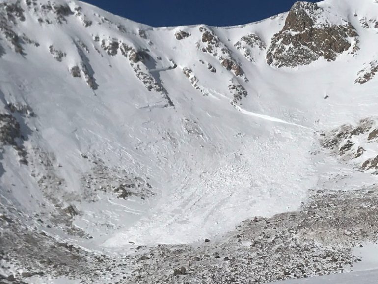
Large natural avalanche that stepped down to the ground in the Sawatch zone on January 23, 2021.
The Southern Mountains always do well on a southwesterly flow especially areas in the South San Juan Mountains zone. Areas favored by the southwest flow picked up 8 to 12 inches of new snow with around an inch of snow water equivalent (SWE) on January 20 and then another 5 to 8 inches on January 23. By January 27, storm totals at Telluride were 27 inches with 2 inches of SWE, on Coal Bank Pass storm totals were 38 inches of snow with 2.95 SWE, on Wolf Creek Pass storm totals were 40 inches of snow with 4.3 inches of SWE, and in the La Plata Mountains storm totals were 46 inches of snow with almost 2.5 inches of SWE. Observers recorded 100 avalanches in this time period. About half of those were large enough to bury, injure, or kill a person. Two backcountry skiers were caught in avalanches in the North San Juan Mountains zone on January 24, one near the town of Ophir and another near Red Mountain Pass. Both escaped unharmed.
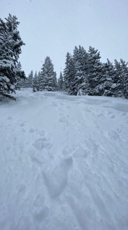
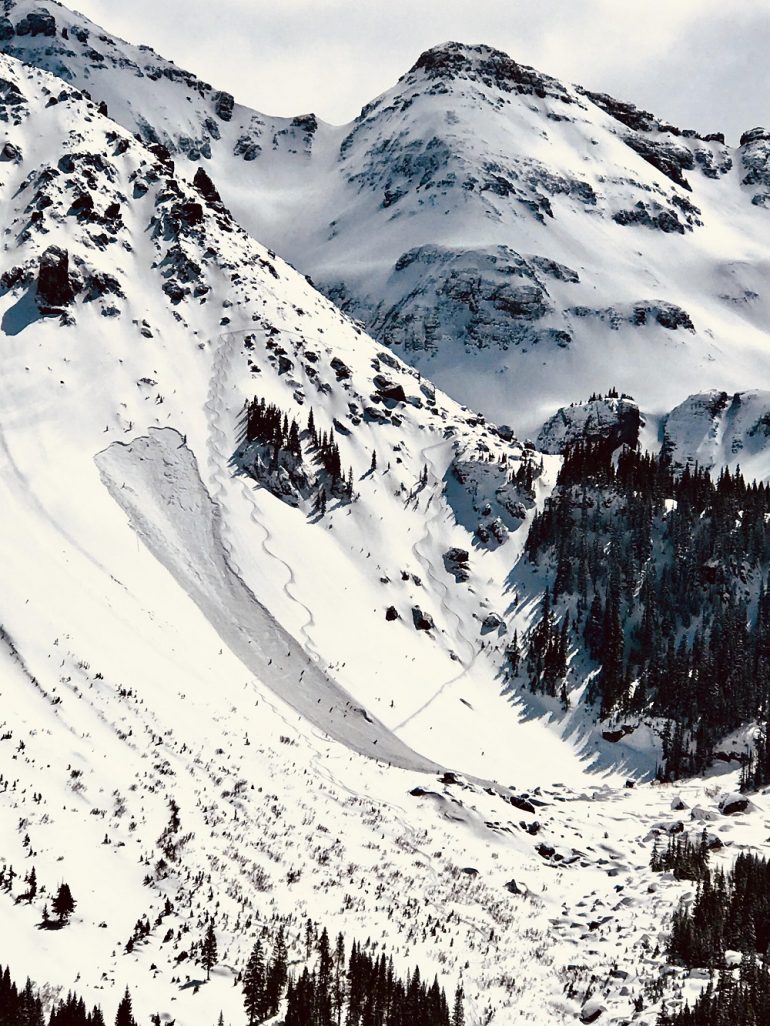
A skier was caught and carried in this avalanche near the town of Ophir on January 24, 2021.
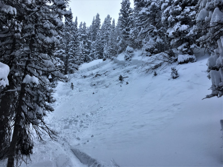
Large skier triggered avalanche in the La plata Mountains in the South San Juan Mountains zone on January 25, 2021
The final storm in January arrived just before the end of the month on January 30 and lasted through January 31.
Light snowfall started on January 30 in the Northern Mountains, but the snow really didn’t start to accumulate until the winds shifted to the northwest on January 31. Two day snow totals were about a foot in the Steamboat and Flat Tops zone, 8 inches in the Front Range zone, and 12 inches from Vail to Breckenridge in the Vail and Summit County zone. Between January 27 and January 31 observers reported almost 50 avalanches in the Northern Mountains.
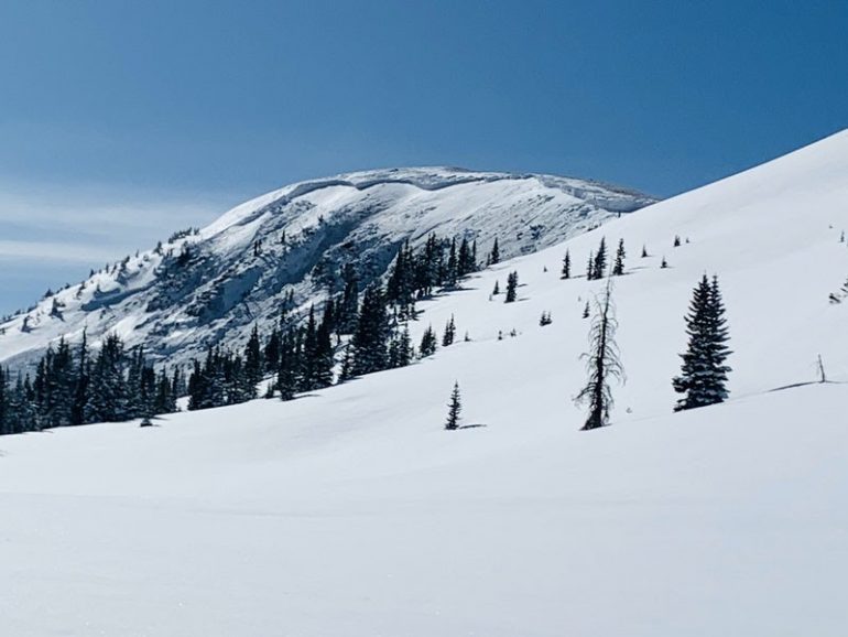
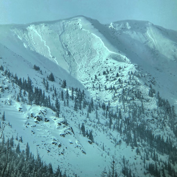
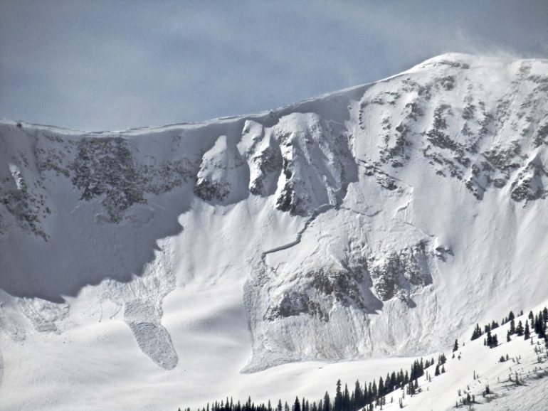
Large natural avalanche near Cameron Pass in the Front Range zone on January 28, 2021
Favored areas in the Central Mountains received 15 to 30 inches of snow out of this storm with the highest amounts northwest of Crested Butte into the southwest corner of the Aspen zone. About a foot of snow was reported on the Grand Mesa. Other areas to the east generally received 8 to 10 inches of snow with decreasing amounts in the northern Sawatch zone. Observers in the Central Mountains reported 229 avalanches between January 27 and 31 with 120 avalanches large enough to bury, injure or kill a person. Most, 93, of these large avalanches were in the Gunnison zone.
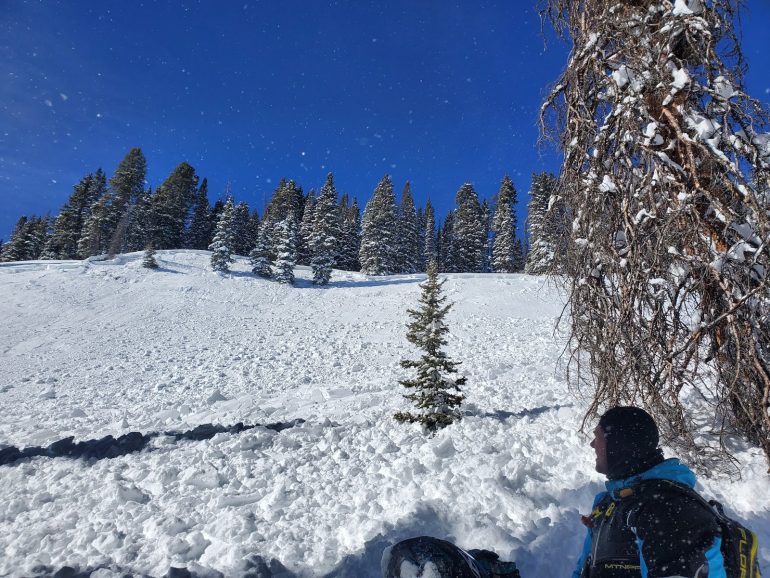
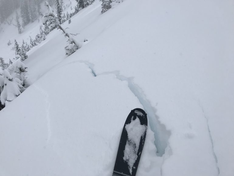
A snowmobiler remotely triggered this avalanche in the Gunnison zone on January 31, 2021
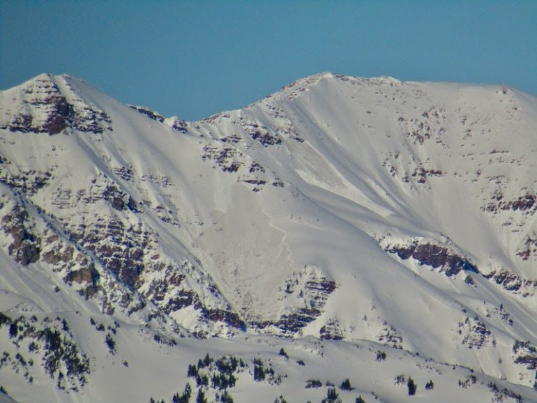
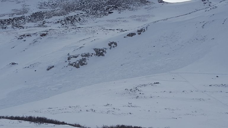
Natural Avalanche in the Gunnison zone on January 31, 2021
The Southern Mountains got another good dose of snow out of this storm on January 30. The North San Juan Mountains zone generally picked up 7 inches of new snow with strong northwesterly winds behind the front. Areas in the South San Juan Mountains zone picked up about 10 inches of snow. Observers reported just over 100 avalanches from January 27 to 31 about half of those were large enough to bury a person (Destructive size 2 or larger).
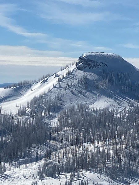
Remotely triggered avalanche in the South San Juan Mountains zone on January 27, 2021
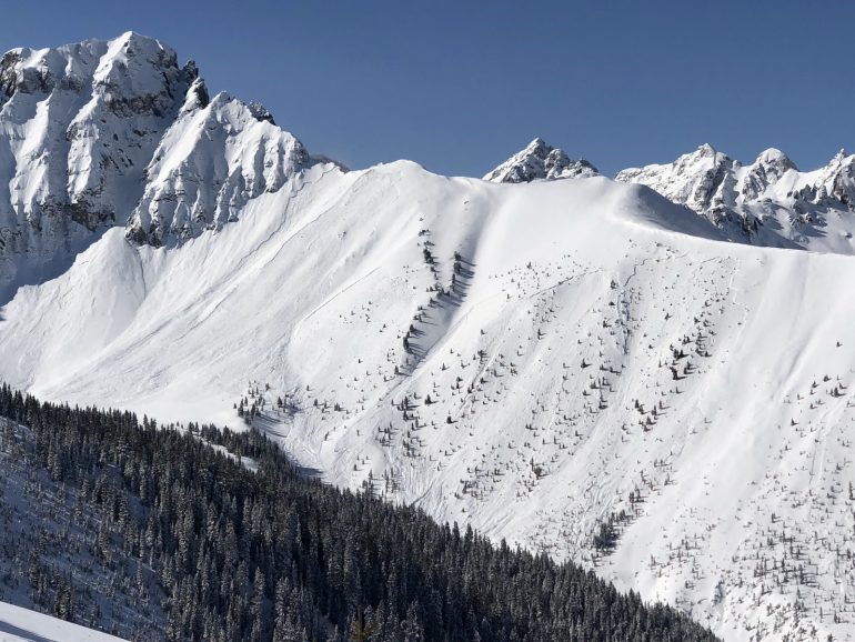
Wide natural avalanches in the North San Juan Mountains zone on January 27, 2021
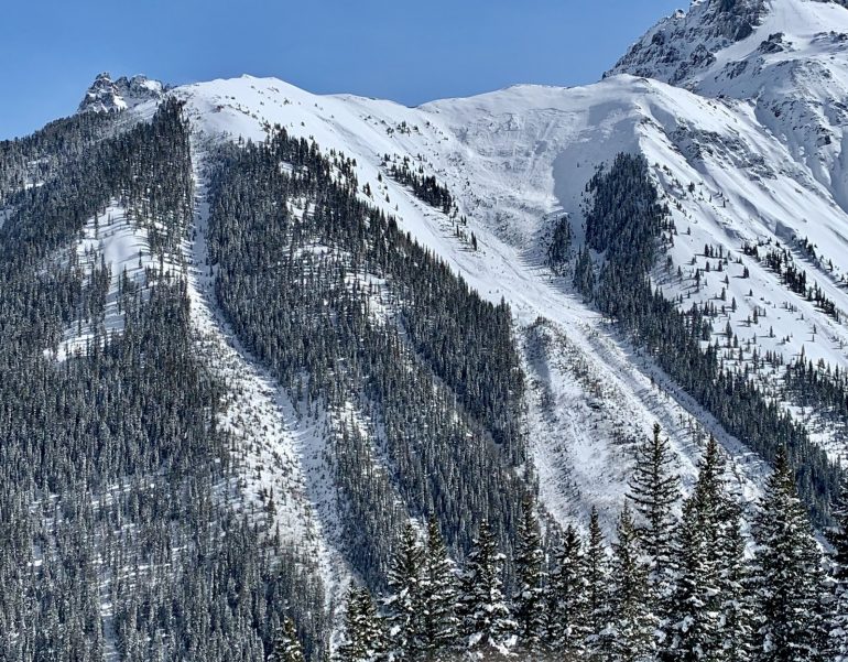
Large natural avalanche near the town of Ophir in the North San Juan Mountains zone on January 27, 2021
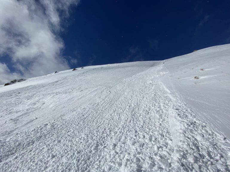
A snowmobiler triggered this avalanche from about 300 feet away from the runout in the North San Juan Mountains zone on January 30, 2021
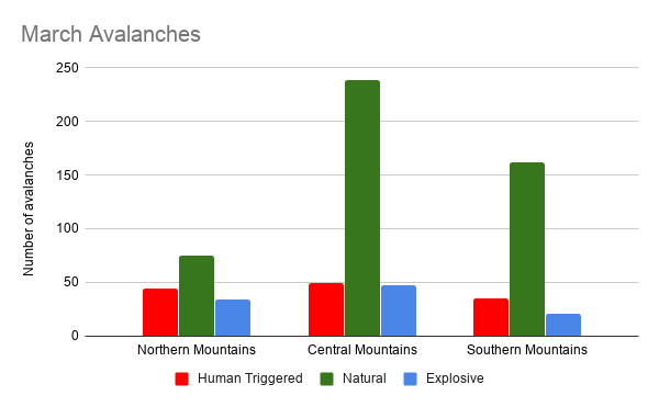
Despite the strong finish in January we still ended up well below the median snowfall for January. Observers reported a total of 856 avalanches to the CAIC during the month. Almost 200 avalanches were human triggered. Amazingly only 8 people were caught in avalanches and fortunately nobody was killed in an avalanche accident.
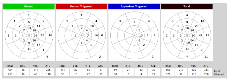
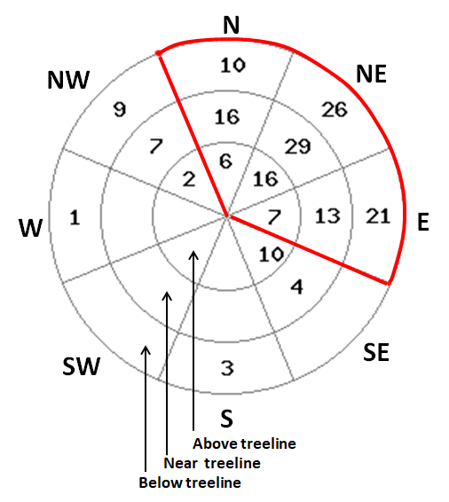
The avalanche rose shows the total number of avalanches from January 1 to January 31 classified by avalanche trigger type. The rings show above treeline near the center near treeline in the middle and below treeline at the edge. Wedges show slope aspect with north at the top. The filtered row shows the number of avalanches that were large enough to bury or injure a person (Size D2 or larger) for each trigger type. The numbers indicate the total number of D2 or larger avalanches on each aspect at each elevation.
The weak layer that formed during the high-pressure in the middle of the month is still plaguing us into February and there aren’t any signs of avalanches letting up on this layer.
January tried to turn the corner, but just couldn’t make the transition.
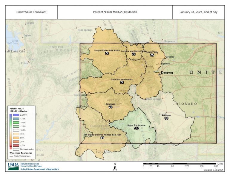
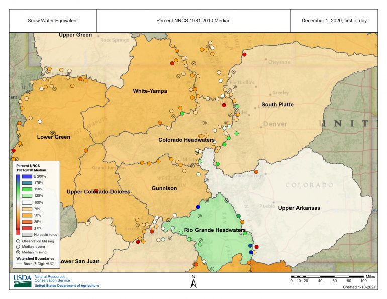
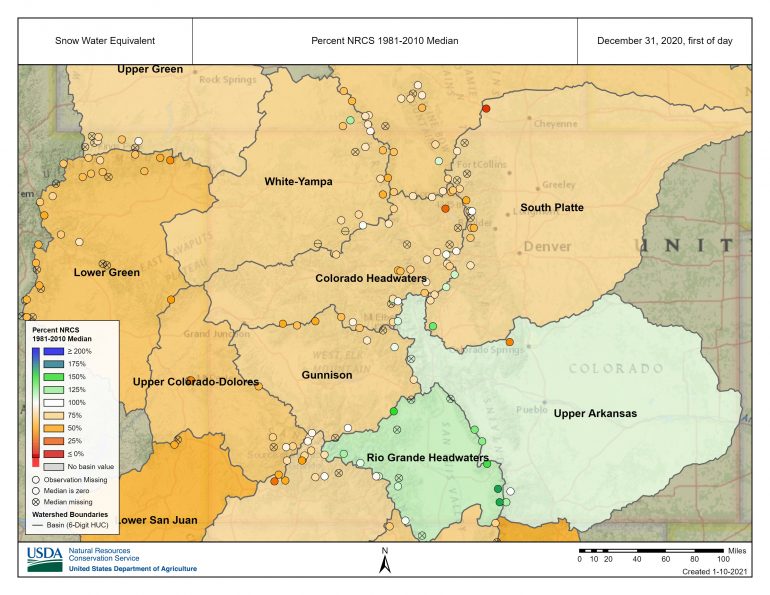
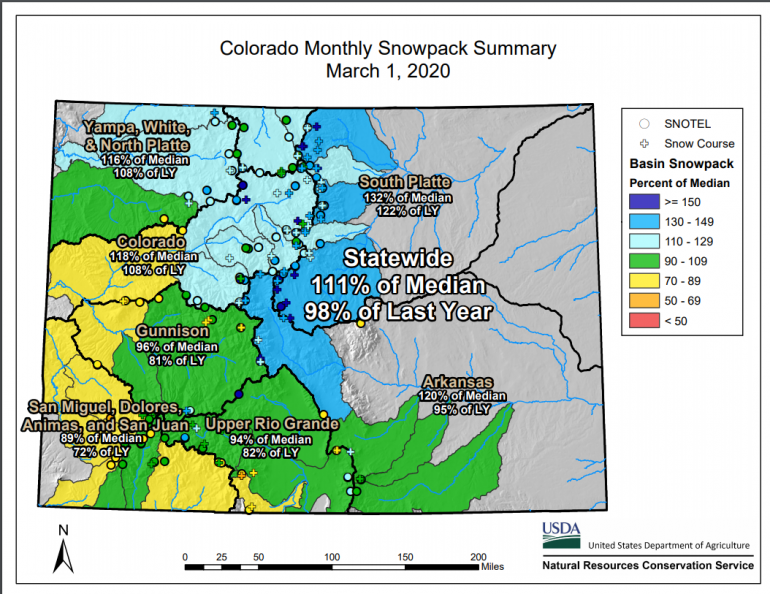
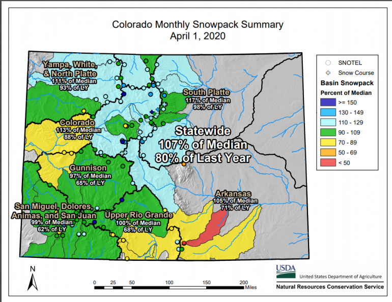
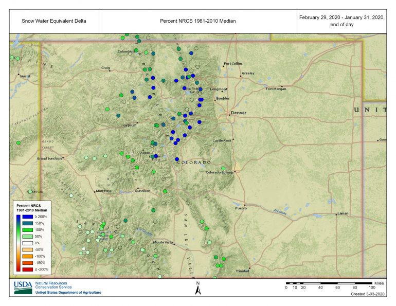
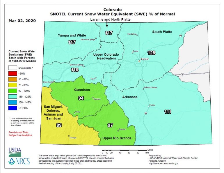
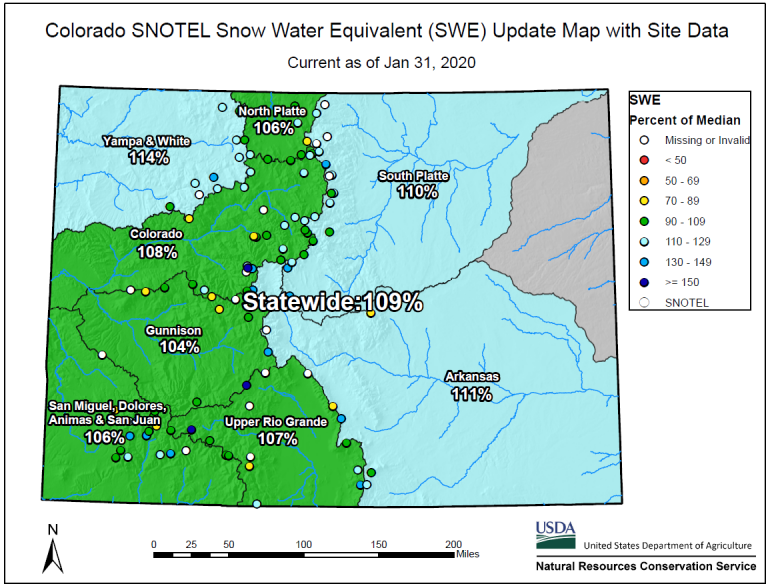
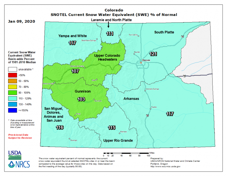
Percent of 30-year median snow water equivalent (SWE) 1981 to 2010 as of January 31, 2021. Most of the mountainous areas in Colorado were well below the median at the end of January.

